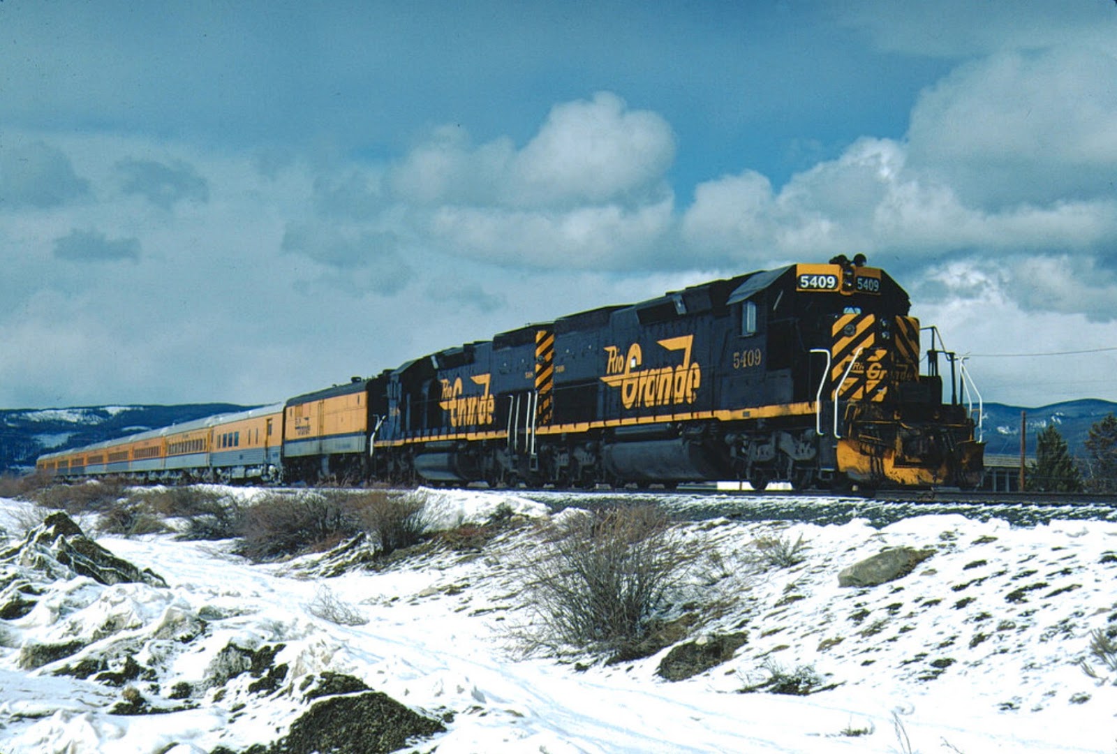
Fraser Colorado (elevation 8574') often makes the news due to it being one of the colder spots in the continental United States. It is also the Amtrak stop for Winter Park, and hosts a short siding (length 4830') that is sometimes used to store the Ski Train prior to its journey east from Winter Park to Denver. The siding is too short to be useful for most trains, but passenger trains are another story.
Fraser sits in a valley between mountain ranges in the Rockies. This is the typical terrain on the western slope; the DRGW ran through an obstacle formed by a mountain range, across a valley, and then through another obstacle. Often, you find a town at each edge of the valley and one in the middle. Generally, we find a siding at each location. Understanding this configuration is important from a modeling standpoint.
West of the continental divide, we see the towns of Winter Park (siding), Fraser (siding) and Tabernash (siding) after which the DRGW passed through Fraser Canyon. The Continental Divide and Fraser Canyon become the obstacles. This pattern is repeated as the line continues west. Exiting Fraser Canyon, the mainline encounters Granby (siding) crosses the valley of Grand Park (park is a term often used for these mountain valleys) to Hot Sulphur Springs (siding) and enters Byers Canyon. Again, exiting Byers Canyon, we have the sidings of Flat and Troublesome before reaching the town of Kremmling (siding) and Gore siding before entering Gore Canyon.
If I had the space to continue west, I would look at this pattern: Obstacle - Siding - Obstacle - Siding, etc. as a plan for the layout. But for the task of modeling the Fraser Valley, specifically for Ski Train operations, I had to look at this pattern differently. Winter Park is needed since this is where the Ski Train stops to let the skiers disembark. Fraser is where Amtrak stops. Tabernash is where the Ski Train is turned and often lays over in the siding during the day, although Fraser is sometimes used once Amtrak has cleared the area. I did consider combining Fraser and Winter Park, or combining Fraser and Tabernash as an alternative, but ultimately decided to model all three.
 |
| Track Plan for Fraser. |
My model of Fraser captures some of the town and the siding (83 inches long, sufficient for about a 12 car passenger train with 4 engines) and the spur track that served a lumber facility. I plan to place a small sawmill on the spur that is being used to process trees killed by the
bark beetle infestation in the area. I also added a spur off the team track that can be used as a team track for the town.
 |
| Travelling the Fraser Valley. |
Continuing across the Fraser Valley, the scenery is limited. There is a crossing of Saint Louis Creek, but otherwise it is ranch land. Since the track will run along a narrow shelf, this kind of "nothing-to-see-here" scenery should give a feel of separation. I did decide to place a lake or pond near the western end of the scene as a few bodies of water began to appear as the line approaches Tabernash. These features are often created by low spots flooded by the Fraser River which the line will follow through Fraser Canyon.
Cameron Turner


No comments:
Post a Comment