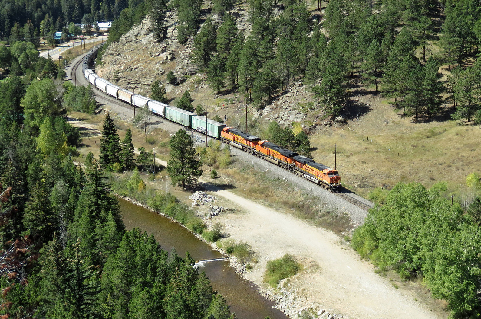
Before continuing past the Moffat Tunnel, let's review the third deck to put these pieces into relative context with each other.
 |
| Deck 3 Plan - Garage Side. |
The second deck ended with the passages through Tunnels 19-22 after the siding at Crescent. This trackage is shown in a light grey as the visible track for a lower deck in the drawing above. I started modeling the third deck at Tunnel 23, and proceeded through Tunnels 24-27 and ending with Tunnel 29 and the Bridge at MP 36.45 before entering Pinecliffe. Pinecliffe is about 8 scale miles by track from Rocky siding where the climb began in earnest. Trains continue through Pinecliffe, the neighborhood around Pactolus, through Rollins Canyon and Tunnel 30 before reaching Rollinsville. Leaving Rollinsville, the trains pass through Espy, where I have incorporated a hidden loop to further lengthen the run, into Tolland Canyon and to the siding at Tolland. Departing Tolland on the opposite side of the aisle from Crescent, the trains enter Mammouth Gulch, where scenery will screen their transit through the doorway back into the basement while operators navigate under the nod under formed by the east end of Crescent siding.
 |
| Deck 3 Plan - Basement Side. |
Re-entering the basement for the first time since leaving North Yard, trains run through a hidden loop at Mammouth Gulch to add distance between Tolland and East Portal before coming back into view and crossing the Mammouth Gulch bridge. Trains proceed into East Portal and the Moffat Tunnel under the continental divide at James Peak. While East Portal is directly above North Yard, I think the wider aisle at North Yard and the lack of significant work at East Portal will prevent the need for crews to congregate in the aisle. Furthermore, the North Yard switch crews will likely be seated to do their work, while the trains at East Portal are nearly 4 feet over the yard. The end of Deck 3 is marked by the Moffat Tunnel, whose 6.2 mile length is modeled by a 1.6 mile run through a helix that allows the train to exit West Portal into Winter Park at an elevation only 4 inches below that of East Portal.
One legitimate option here is for me to end the layout here. I could ignore Winter Park and the western slope altogether and simply run the Moffat Tunnel down the back side of the backdrop (above Rennick Yard) and into the helix to get to staging. But, as I have mentioned before, I do want to simulate the Ski Train operations, and at a minimum, that means including the stop for the Ski Train at Winter Park. So that is our next stop as we go Through the Rockies...Not Around Them in 1:160.
Cameron Turner


 Posts
Posts