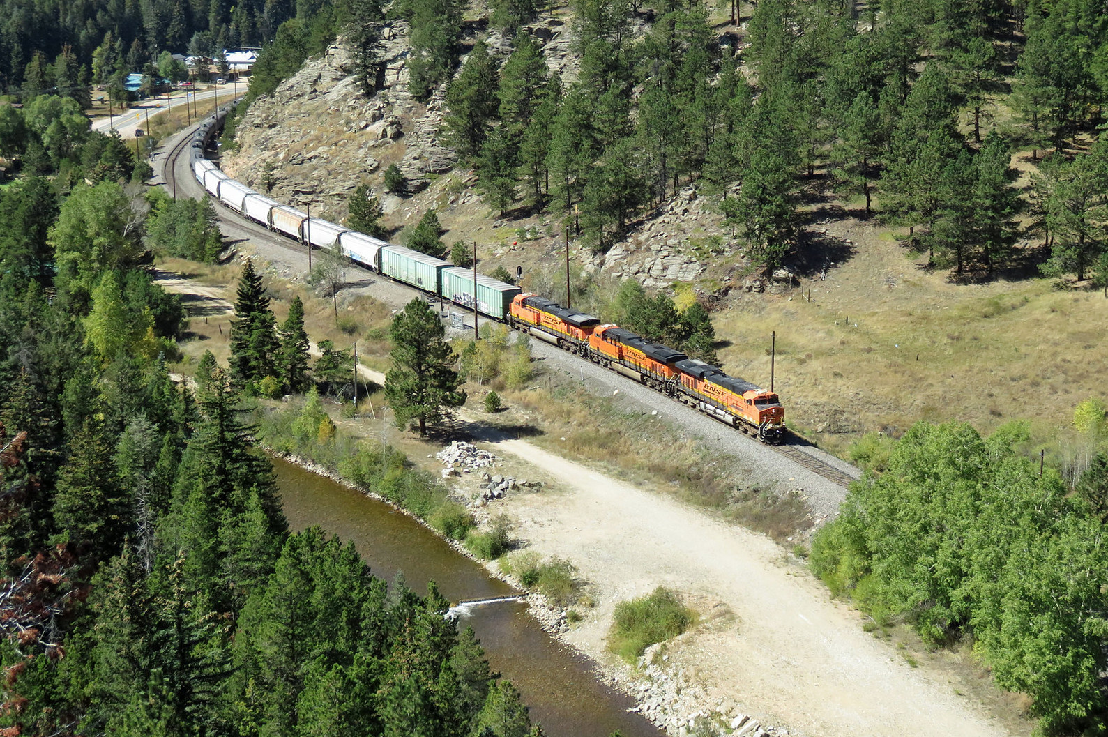
At the western end of the Upper Region of the Tunnel District is Tunnel 29 and Bridge 36.45. After these scenes, the canyon opens up into the town of Pinecliffe which is the location of Cliff siding. Cliff siding is at MP 37.0, 5.8 miles from Crescent siding.
Pinecliffe is a classic mountain town with a siding and a house track. I plan to add a single spur to the town, just for a little switching opportunity.
 |
| A Penny Postcard of Pinecliffe Colorado. The scene is pretty close to that of today. |
Pinecliffe is a location where CO Highway 72 meets up with the mainline for the first time since Coal Creek Canyon. Although, the weather can sometimes make even that access difficult.
Physically, my model of Pinecliffe is located above the Flatiron Region of the Tunnel District and Leyden siding. So, while I have two sidings above each other, neither has a lot of switching in these locations.
 |
| Track Plan for Pinecliffe. |
The plan for Pinecliffe places the town at 46.5" above the reference location. This is about 20" above the elevation of Plain siding, located nearby and below Pinecliffe. The town of Pinecliffe extends up behind the track towards the ceiling, and is planned to transition from N-scale in front of the river, to Z-scale and smaller on the other side, enhancing the sense of depth, while keeping the track easily accessible. The siding itself is a significant siding, modeled at 177" long, or almost 15 feet long, which should be long enough for any of the planned trains. Cliff siding is almost 86 feet (or 2.6 miles) from Crescent siding which is itself nearly 3 scale miles from Plain siding. This is truly a massive grade to model and climb.
6
Days, 6 Posts to Go.
Cameron Turner


No comments:
Post a Comment