Thursday, August 29, 2019

An Ops Moment

Last Sunday, I had another Ops Moment. I got a chance to operate on the NEW Arcadian Coast Eastern (ACE), built by my friend Sandy Eustice. Sandy's ACE is a prototype model of the 6th Maine 2-Foot Gauge Railroad. And if you are thinking that "Wait a minute, there were only five Maine 2-footers." Well, you should talk to Sandy because he has a sixth in On30.

Sandy's Map of the Arcadian Coast Eastern.
The ACE connects with the Maine Central in Hancock, runs along the coast past Sorento to a wye at Frenchman Bay. From there, the main continues along the coast to Winter Harbor at the end of the main line. However, a branch runs off the main at the wye at Frenchman Bay to the town of Tunk Lake. In essence, the layout is three major switching areas, coming off a single wye. It is a novel design, and it allowed Sandy to have a nice operating On30 layout in a spare bedroom.

Trains originate from Winter Harbor, and either run via Frenchman Bay and Sorento to Hancock, or via Frenchman Bay to Tunk Lake.

ACE #6 with the Winter Harbor engine facilities in the background.
Apparently, someone important is either departing from Winter Harbor, or arriving as there is a fancy car waiting at the station.
Sandy and I each took trains. On the first shift I ran a turn out to Hancock and back, while Sandy worked up to Tunk Lake. Trains are fairly short 5-7 cars, but they are just right for the towns. Hancock resides on a 16" wide shelf, which is not a lot in On30, but there is enough track to get the jobs done, if you think your way through it. Hancock is also the location of a highly efficient interchange with the Maine Central, that rapidly transloads cars between trains.

A GGYV&N box car takes on cargo from the Hancock Freight House and an REA Truck.

The Hancock station is a popular place.
After my run to Hancock and back, I straightened out the yard and spotted cars from Hancock in Winter Harbor. That allowed me to build the afternoon fish train to Hancock and the afternoon turn to Tunk Lake. Tunk Lake resides on the third peninsula of the layout room. Since there is no run around track in Tunk Lake and the grades into town are steep, the engine needs to push cars from Frenchman Bay to Tunk Lake. I first ran the Fish train to Hancock while Sandy handled a few RIP cars and was able to return in time to take the afternoon train to Tunk Lake.

The Hancock County Growers Association, an industry in Tunk Lake.

Tunk Lake is home to a large sawmill complex.
While I ran to Tunk Lake, there was one final run to Hancock and back to catch the evening connection with the Maine Central Calais Branch which Sandy took out. Returning to Winter Harbor, we put away the evening cars, and tied down the engines. Another day on the ACE had come to an end.

Car movements are governed by a 4-cycle car card system. There are a few modifications to the cycle to allow cars to be unloaded and reloaded in Hancock so that the town remains fluid, but the system works well.

Tunk Lake and its car card box.

A layout does not need to be large to be fun to operate, just well thought out, and the ACE qualifies as a well thought out layout that is a pleasure to operate.

Cameron Turner

Wednesday, August 28, 2019

Wordless Wednesday

DRGW 3104 leads the California Zephyr past the intermediate signal between Leyden and Rocky (in Barbara Gulch) on April 18, 1988 by John Rus. 

Cameron Turner

Friday, August 23, 2019

The Mysterious Barbara Gulch

One of the secret places that the Rio Grande travels is Barbara Gulch. Between the sidings of Leyden (MP12.4) and Rocky (MP18.0) the DRGW climbs towards the front range west of Denver through Barbara Gulch. This is a small drainage east of Coal Creek Canyon. It is also one of the more isolated stretches of track along this stretch of line. In the middle of the stretch is a location known as Chem Spur or as Chemical. Chem Spur serves a couple of industries that shipped via the DRGW over time.

DRGW3006 and DRGW3003, GP30s lead a train west into Barbara Gulch onDecember 16, 1997. Photo by Mike Danneman.
Barbara Gulch is a shallow grassy gulch. While the gulch parallels Colorado Highway 72, for most of the distance, the railroad is hidden from the road. Access requires a hike into the gulch. Once there, it does have a feel of isolation from the rest of the world. Yet, in the midst of this isolation there is a connection to the rest of the world at Chemical.

SPINS Map of Arvada, Leyden and Chem Spur.

The SPINS map for the area indicates that the spurs serve Mesa Oil and Thoro Chemical. Both of these industries would be served by either the Rocky Local (most often) or occasionally by the less common West Local. The Rocky Local would run up the Rocky Flats Branch (which joins the main at Rocky Siding). The West Local would run occasionally as far west as the East Portal of the Moffat Tunnel. Not only do the industries at Chem Spur (or Chemical) provide a switching location for operations, but they are actually quite visible to anyone in the region.

December 18, 2018, Amtrak's California Zephyr passes by Chem Spur headedwest from Denver. Photo by Mike Harriman.
UP6844, UP8336, UP2292, UP3574 along with the last DRGW SD40T-2 #5371,bring the last MRONY (Manifest Roper to North Yard) east into Chemical on December 18, 2018. Photo by Kevin Morgan.
The tower at Chem Spur is visible for miles in the area. The other buildings are more visible from near the tracks, as can be seen above, but they do stand out from the otherwise bleak scenery. My plan to model this area is to capture the bleakness and isolation of these structures. This is a layout design element representing the space between other features.

Barbara Gulch track plan including Chem Spur.
The plan does not yet have the detail of the configuration for the industries yet, just the single turnout off the main line has been located. This detail can be added later if the plan remains promising. However, I did include the detail of a wandering main line, intended to capture the wandering nature of the main line within the gulch. At this stage of the plan, the length of the main line is a critical parameter because length is directly related to the elevation gain of the main line. At this stage of the plan, the elevation gain of the main line becomes an important factor. My plan is to transition the railroad from the lower deck to the second deck as the main line climbs through the Big 10 curves between Rocky and Clay sidings. For this transition to be effective, the main line will need to climb enough to provide the necessary deck separation. Thus, at this point in the planning process I have two goals.
  1. To see if the layout design elements “fit” in the benchwork footprint as currently arranged to faithfully represent their prototypes; and
  2. To determine if the vertical profile of the layout is adequate for the layout to faithfully represent the character of the prototype.


The next layout design element consists of three components. Rocky siding, the Big 10 Curves and Clay siding. This is the point where the assault on the Rockies begins in earnest and represents the first big test for the multideck configuration of the layout. 

Cameron Turner

Wednesday, August 21, 2019

Wordless Wednesday

DRGW 5514 ,5510 and 5507 EB into Leyden on October 13, 1984 by John Rus.
Cameron Turner

Saturday, August 17, 2019

Leyden - The siding that we generally ignore...

According to the Timetable for the Moffat Line, Leyden is the first siding west of Denver at Milepost 12.4 (MP 12.4). This puts it about 8 miles past C&S Junction and 5 miles past Arvada. The scenery between these spots is suburban, although it varies from old farmhouses, to post World War 2 subdivisions, to modern subdivisions of McMansions. Leyden itself is rapid being closed in upon by suburban sprawl, but in my era is at the edge of suburbia. Rural life will soon take over as we head west. Leyden is a popular photo spot, with easy access to spots to view the tracks. with a 7020 foot siding, it is the 3rd longest siding between Denver and the Moffat Tunnel. But the scenery is well, BLAHH.

Typical Leyden Scenery.
 It is easy to see why so many Rio Grande layouts skip Leyden. Compared to the other sidings, it is easy to overlook. Except for some of the pictures that you can get at Leyden. Pictures like...

GP30s on a DRGW Work Train February 12, 1999 by Mike Danneman.
UP5738 Leading a Mixed Train West out of Leyden in May 2019.
Yep, okay there is something to see at Leyden. And in addition, there is a nice DRGW bridge over Indiana Street at the west end of Leyden.

The Bridge over Indiana Street. Makes a great modeling project.
What is more is that this siding is operationally important. Apparently, I have been told that Leyden Siding is the edge of the area where Rio Grande Yard crews could operate trains. In other words, road crews whose time of service was expiring could be replaced by yard crews at Leyden. Leyden therefore served as a relief valve of sorts for North Yard. And given its length, provided an important spot for coal trains to wait while coming to North Yard without blocking the main. So, there is operational and scenic components to including Leyden if it can be afforded in the space available. Finally, if you want to model the mundane as well as the exceptional - Leyden is certainly that. Including it makes the other sidings more spectacular. So, the plan is to include Leyden.

Leyden is a fairly straight siding. My space for Leyden is bent. So, I plan to bend the siding using a large radius curve. In this case, the inside radius is 36" which is a large curve in HO. In N-scale, 36" is huge. Leyden also is home to a "House Track" which can be used to set aside special loads either for the railroad, for repairs in place, or for irregular customers. So, I can use it a little bit like a team track. The west end of the siding marks the spot for the bridge over Indiana Street. The east end is marked by a road crossing.

Leyden Siding Plan.
The resulting plan allows for a mainline length of 188", a siding length of 191" and a house track length of 39". These work out to be about 36% of the prototype length of the siding. The house track is actually longer than the length of the prototype. So, it looks like this siding fits into the plan as well.

West of Leyden we enter the mysterious and remote Barbara Gulch and a couple of sidings known as Chem Spur on the SPINS maps. But we can discuss those in a future post.


Cameron Turner

Thursday, August 15, 2019

Going to the Junction....C&S Junction

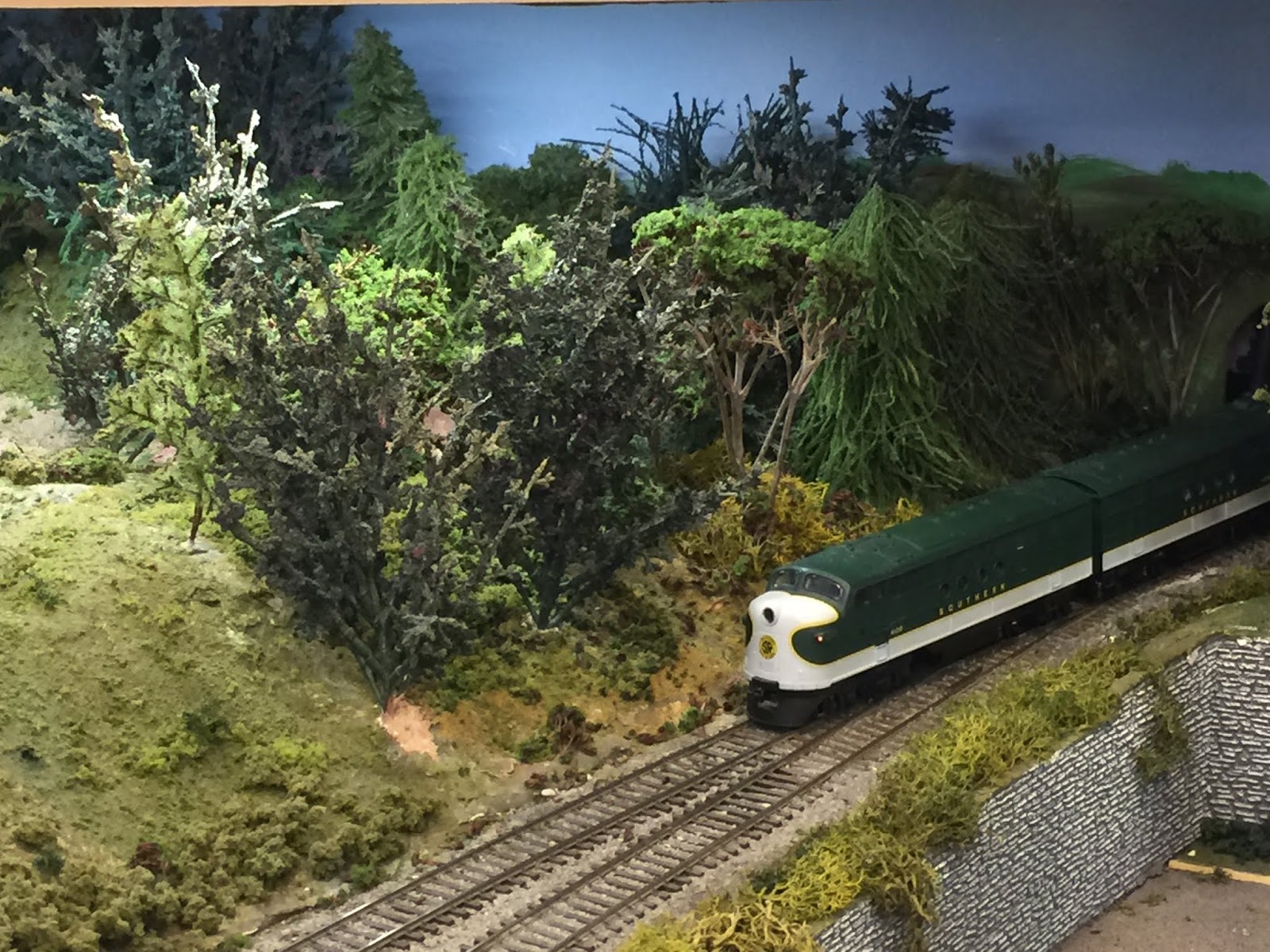
While the layout is not envisioned as a model of the Burlington Northern operations around Denver, they do impact the operations of the stretch of the Rio Grande I am modeling. The BN mainline headed north runs along North Yard, and the line south through the Platte River valley shared a double track mainline with the Rio Grande (and ATSF) after about 1987 as part of the Consolidated Mainline Project (CMP). This project made Union Station a stub ended station - before this Rio Grande traffic ran past the station on the way to the Burnham Yard and Shops.

This line sees a lot of traffic - today a lot of it is Powder River Basin coal headed south to the Gulf, or empties headed north to Wyoming. In my era, it still saw a lot of traffic, and it was the route that BN used to interchange with the Rio Grande at North Yard. Just past Utah Junction, the BN Main breaks away to head north to Wyoming.

In my plan, I had to delay this departure until after Cargill. This is a slight compromise but allows me to model through traffic from the BN (if I have the operators to do so) and provide a little more complexity to North Yard operations. It is also easy to eliminate if I so desire or find the traffic to be too much for the layout. I'm showing this location on the plan below.

C&S Junction Plan.
So, the BN main departs through the backdrop into a helix to drop below the layout. This helix can then reconnect to the main layout helix with a staging yard in between to create a continuous run for BN traffic. Fortunately, the Rio Grande main (in black) is climbing, and with the BN line dropping, we should have enough clearance. After this mainline split, the Rio Grande main drops to a single track as it crosses Federal Boulevard. Shortly after, the line expands again to provide a lead track for industrial sidings in this area and in preparation for arriving at C&S Junction.

C&S Junction is where the BN Golden Branch departs to go to Coors Brewery in my hometown. I am hoping to include this branch in the layout, but at least plan to represent it with staging. Just as before, I again routed the BN branch into a helix. However, here I make a calculated trade off. In reality, the BN branch should depart towards the aisle. By flipping the junction to the inside of the layout, I allow the branch to disappear conveniently into the backdrop. By going into the backdrop (forming a counterclockwise helix) instead of following the mainline (creating a clockwise helix) the task of hiding the helix becomes much easier. In addition, it allows me to decide later if the branch would be modeled above, or below the existing layout. At this point, without knowing exactly how much of a climb I will be able to achieve before I come back to this spot on the next deck, it could go either way. Hence, the reason why I have to this point based the layout height relative to the elevation of Prospect Junction.

Pushing past C&S Junction, I arrive in Arvada. The Rio Grande skirts the northern end of Olde Town Arvada, while the BN tracks skirt the south side, closer to the old charming downtown. I much prefer the look of charming downtown Arvada, so I plan to have the Rio Grande line pass through here, while the branch would be in the helix anyways. This also gives me a couple more industrial areas to model.

SPINS Map of Arvada, Leyden and Chem Spur.

Olde Town Arvada.
Looks like the perfect spot for some Design Preservation Models and Woodland Scenics kits. So, that brings the design through C&S Junction, and now we would continue our climb towards the first siding on the line, Leyden, as we climb through the western suburbs of Denver on the journey Thru the Rockies...Not Around Them in 1:160.

Cameron Turner

Wednesday, August 14, 2019

Monday, August 12, 2019

An Ops Moment

Following up on Thursday night, I went to another round of operations sessions on Saturday, in the area around Aiken, South Carolina, hosted by the District 9 of the NMRA's South East Region. First up that morning was Steve Prevette's Burnt Hills and Big Flats Railroad. Steve's railroad was featured in the 2015 Great Model Railroads issue from Model Railroader. However, he has rebuilt part of the layout since then. Steve's layout also has more moves on it than I could count, which speaks to its construction and design principles.

The Mount Pleasant Area on the BH&BF RR.
 I operated the X35, a local that ran most of the length of the railroad to the town of Sidney. In Sidney, I have a fair amount of work to do while staying out of the way of several other trains. This end of the railroad operates under Timetable and Train Order Operations. But once I got to Sidney things were pretty quiet. I even worked within yard limits to help a long train from the D&H turn at Sidney to make its run down the mainline. A quite entertaining N scale railroad. Steve was a great host and fed us a great lunch.

X-35 working towards Sidney.
Mayfield Yard.
Sandy Eustice, my ride for the trip working Scranton.

Steve (in Blue) watching us work the railroad.

Next up was Don Barnes HO Scale B&O Baltimore and Cumberland Division Railroad. This is a massive layout, which will eventually model the complete run from Baltimore to Cumberland Maryland, with if I recall correctly, only two sidings missing. Don models 1949, and every car and locomotive can be documented to have been on the line then. Even the schedule is a match for the run. The layout is mostly unsceniced and about 60% complete. 30 buildings are on the layout, all scratchbuilt by Don's "guy", with 104 to go. There is a massive roundhouse, the Ellicot City freight house and others to admire.

A 19 (Yes 19!!!) Stall Roundhouse...

WB Tower with 3 Brakemen to the Right.

Harpers Ferry Station.
 I ran one of the three yards in the layout, located in Martinsville, WV (I may have the name wrong), and had a great time. The locomotives were exquisite and the handlaid trackwork was beautiful. It was fun to operate even without the full layout in place, and scenery. I hope that we get to operate there again when things are complete. And Don is a wellspring of knowledge about the B&O.

Martinsville, WV Yard.

 Our last stop of the day was at Robin Riley's place for dinner and a layout tour. Robin is building a layout to model the CBQ Hannibal Division, in N Scale. Being later in the day, and it being a smaller layout, I did not take as many pictures, but it was good to see. The craftsmanship Robin put into his layout was amazing. He is busily developing a full signalling system that will soon be tested first with manual wood signals. Robin organized the weekend, and was a great host throughout.

The CBQ Hannibal Division.

The Oil Refinery on the Hannibal Division.
A big thank you to Steve, Don and Robin for their hospitality this weekend, and to Sandy for driving. The 16 hour day was well worth the fun of the adventure. Hopefully it will not be my last visit to the layouts of SER Division 9.

Cameron Turner


Friday, August 9, 2019

An Ops Moment

On Thursday night this week I took a break from layout work to attend the August Operations Night at the Central Railway Model and Historical Society Layout in Central, SC. They have a large double deck HO scale layout that runs through an old house in Central (open to the public 9-2 on Saturdays). Because it is a club layout open tot he public, the layout is designed as a large loop, and so operations must fit within the display parameters of the layout. Therefore, the club has developed a set of scenario cards that define jobs. These jobs typical become like for like replacement operations, but they do mean that cars do systematically move around the layout over time so that the layout is not entirely static.

The Crescent Approaches.
The layout is based on the operations around the town of Central in the late 1950s. My job last night was operations around a large paper mill complex off the mainline. The job was enjoyable, but the layout was not its most cooperative. Electrical gremlins were afoot. I even learned that there is a combination of switches that you can throw in the paper mill that leads to a short that will shut down the layout. Of course, I did just that.

The first paper mill switcher sidelined due to electrical gremlins.

The Paper Yard.

The replacement switcher.
The complex is very neatly detailed, and posed a solid challenge to operate. Gremlins are never fun, but part of the hobby some nights. It did remind me that I want to make sure I do not have any long reaches to turnouts - a couple in the paper mill exceeded 36". But even a single major industry can provide an interesting evening of switching.

Cameron Turner


Monday, August 5, 2019

North of North Yard - Cargill


The Cargill Grain Elevator marks the north end of North Yard in Denver. This massive structure dominates the landscape around it as can be seen in this Google Earth view.

Elevator from Google Earth.
Officially called the Commerce City Elevator #2, this facility is a signature element of the yard area, so I wanted to model it as close to full size as I could. The track plan for the area is shown below.

Cargill Area Track Plan.

I did have to flip the elevator around to fit the area, and because I did not want the elevator to block access to the tracks. So, for perspective, let's look at Google Earth from the other side of the elevator.

Commerce City Elevator #2 looking West.
I did also use the SPINS map (Southern Pacific Industry Numbering System map) of the area to work out the track layout for Cargill. My version is pretty close schematically to the real configuration.

SPINS map for the Area.

The resulting model will be almost 48" long, so it should dominate the scene. Furthermore, there are a couple of industries nearby. The Blue Building is a MOW facility, there is a precast concrete facility, and a lumber yard. Also in this region is the DRGW piggyback ramp, but I am going to combine that with the BN facility behind North Yard.

The area is also intersected by the Pecos Street and I-76 overpasses, and finally bridges over Federal Boulevard. In addition, this part of the line sees the multiple tracks near North Yard collapse into a single mainline track to cross Federal Boulevard. These tracks are often used as holding tracks for trains arriving or departing North Yard, and are signaled with overhead signals, one of the few places I am aware of in the area where you can find signal bridges. So, they too will find a home in this stretch of the layout.

Signal Bridge as the Main Approaches Federal Boulevard. I-76 is in the foreground.
So, that places Cargill on the layout. Now, the line heads into the suburbs of Denver with C&S Junction coming up.

Cameron Turner