

 |
| Green River Crossing |
Okay, if I imagine it, how would I logically combine the elements I love into a freelanced railroad. Well, I think I would start off at a big city, call it City A. There would be some local industry, a grand passenger station, and a major classification yard. There would be interchanges with at least the UP, BN/BNSF, and maybe at least one other road. I'd also have at least one major industry, perhaps a brewery, a steel mill, a refinery or a power plant. Heading out of the city, I would approach the mountains, maybe passing through one or two smaller towns, call them B and C. B could draw elements of Kremmling, Tabernash, and Price. C might be a little larger, and host a helper station and a branch line. Along the way, we cross a couple of long bridges. I could even put the Power Plant here, tucked into the canyon mouth.

Continuing out of C, I'd enter a canyon. Tight, twisting lines, low level bridges, isolated industries and a small town having seen much better days, call it D. Coming out of the canyon, I would have a junction to another branchline and a town located in a valley, call it E. The line would then climb out of the valley, using curves to gain a hold on the hillsides, and enter into a series of tunnels as the line desperately climbs. Tunnels become punctuated with high bridges and the occasional siding as the line climbs into higher canyons. As the line nears the top, the canyons open up into mountain parks, perhaps with one or two small towns with small industries, call them F and G. In G, the line finds a tourist railroad that operates a branch out of town.
The mountain park opens up to small mountain rivers, and number of mountain lakes and marshlands. Ahead, another town appears, with a junction to a substantial branchline originating coal. And a few miles further up the line we reach a summit tunnel. On the otherside of the summit tunnel, we enter a snowbound ski area. The line, now double track, descends through the snow, passing through several tunnels, and snowsheds, over additional bridges to arrive in Town H. Here, the helpers would come off, and the train would continue its descent, heading further towards the end of the line. Crews would change here, and while there is a small yard, it is not a major classification yard. Instead, a small regional railroad operates a former pair of branchlines out of H to reach several isolated but valuable mines.
I guess I see City A as an amalgam of Denver and Pueblo. Town C is a bit like Helper, combined with Minturn, combined with Canon City. The Canyon near C is an amalgam of the Royal Gorge and Eagle River Canyons, with Town D being something like Red Cliff. Town E, might be something close to Salida while F and G are probably amalgams of Pinecliff, Rollinsville, Hot Sulphur Springs, Nathrop, and Buena Vista. Town G may also be a little like Granby. This makes the line between E and F very much like the tunnel district, albeit without the uniqueness of the flatirons.
The summit tunnel would be very much like the Moffat, although the approach may draw a lot more from the approaches to Tennessee Pass. The ski area is a lot like Winter Park/Fraser, and the descent may resemble elements of the Gilluly Loops and the Price River Canyon. Town H, would be a blend of Bond, Malta, Leadville and Utah Junction/Helper. Ultimately, the line leaving H would dive through a pair of tunnels (like Thistle), perhaps with an approach like that to the Yarmony Tunnels.

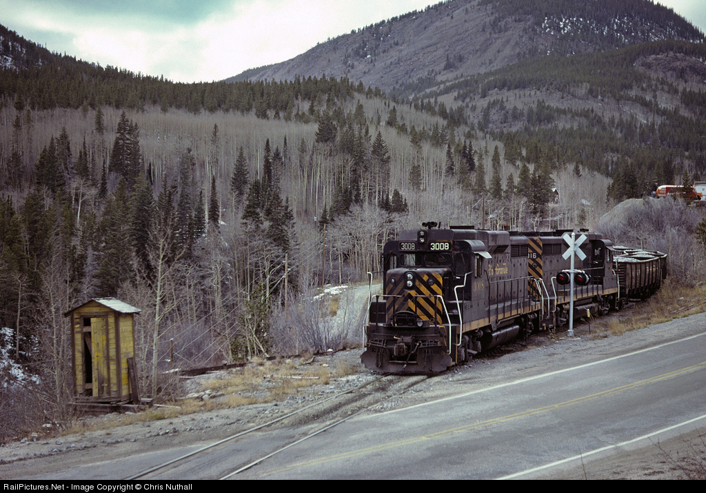
Okay, the idea has some merit - but I am having a hard time getting over the modeling the D&RGW while freelancing the line. Perhaps if I moved towards a Proto-Freelanced version - maybe the Rio Grande Northern or something like that. I just have a hard time seeing the Rio Grande locomotives, but running through a town that is a mix mash of several other places. But maybe the idea has merit. They are after all, my trains.
The nicest thing about the plan is that it really focuses well on one side of the climb. The final descent is intended to be a lot more minor, so almost all of the climb is on one side of the trip. Yet, it is also designed to go through an entire crew district.
No comments:
Post a Comment